
Leesylvania Neighbor Sources by Block
Each source answers a limited question about a block. County Mapper shows land geography. Assessment records identify an owner of record and the tax mailing address associated with a parcel. Land records explain a transfer, lot, or easement. None of those records establishes every person who lives at an address. Start with the source that matches the question, and record the date and parcel identifier before moving to another system.
| Source | What it shows | Access |
|---|---|---|
| County Mapper parcels | Adjacent parcel polygons, premise addresses, GPIN labels, buildings, subdivisions, and ZIP layers | Free map with Identify, buffer, and parcel-selection tools |
| Assessment cards | Owner of record, tax mailing address, situs address, legal description, and assessment | Public Access Now by owner, address, or GPIN |
| Deed and plat records | Ownership succession, lot or block, easements, subdivision, and shared-access context | Circuit Clerk index, HOP, courthouse, or microfilm |
| Voter precinct list | Statutory registered-voter fields for the relevant precinct | Registrar inspection, with statutory exclusions |
| HOA, COA, and POA contacts | Association coverage or voluntary public contact information | County contact list and GIS layer, not a membership roll |
For Leesylvania neighbors, separate ownership from occupancy every time. An owner may use an estate, business, or out-of-area mailing address. A tax mailing address is correspondence information, not a resident list. Renters and other household members may not appear in any property record.
For an older block question, RELIC, census schedules, newspapers, and historical directories can supply a time-specific household clue. The located sources did not establish an exact Leesylvania reverse-directory run or a public community member directory. Preserve the year, source, and address spelling, then compare it with the parcel's legal description or GPIN rather than extending a historical result into the present.
Map Leesylvania Neighbors at Parcel Scale
Prince William County Mapper provides the local parcel starting point. Parcel information appears at map scales of 1:4,800 or below. Search by address or GPIN, zoom to that scale, and turn on the visible land-record layers needed for the task. The map can show parcels, premise addresses, GPIN labels, buildings, subdivisions, and ZIP Codes. Its parcel geometry is informational, and county mapping warns that aerials and boundaries may not align perfectly.
- Write down the target address, map date, and scale before selecting anything.
- Use Identify on the target parcel, then preserve its GPIN, situs address, subdivision or lot, and ZIP layer result.
- Click polygons that share a boundary or lie directly across the mapped street. Use Buffer and Select Parcel Features only when a measured spatial selection is needed.
- Record adjacent GPINs separately, then open each in the assessment portal instead of assuming an adjacent parcel identifies an occupant.
Block flow: address to County Mapper, then GPIN to assessment card, then deed or plat when ownership history or shared-access context matters. A buffer may cross a road, water feature, or subdivision line, so label a buffered result as a spatial selection rather than as a definitive neighbor list.
Turn Leesylvania Neighbor GPINs Into Records
After the map pass, open each selected parcel in Public Access Now. Keep the resulting GPIN, situs, owner of record, mailing address, subdivision, adjacent GPIN notes, and visible ZIP layers in separate columns. The situs is the physical parcel location. The mailing address is where the county sends tax correspondence. The GPIN is a coordinate-based 10-digit identifier, not a code for subdivision or parcel size.
If a transfer date, legal description, or shared drive needs explanation, consult the Circuit Court land-record route and, where appropriate, the recorded plat. A deed can identify a grantor, grantee, legal interest, and property description. It still does not prove a current resident. Permits and code records add a date or project context, but an applicant, contractor, complainant, owner, and occupant are different roles. For a full named-street sequence, use the Leesylvania street directory.
Leesylvania Neighbor Limits at Precinct 712
Leesylvania appears in county election material as Precinct 712. That label is useful for civic geography, but it is not a public reverse-address web tool. Virginia's public registration list can include a registered voter's name, address, year of birth, gender, and applicable election districts. It does not include every household member, a full birth date, Social Security information, confidential application data, or protected residence information.
The Virginia Citizen Portal is designed for a voter to view personal registration information, including status and election details. It is not an anonymous method to type an address and obtain everyone nearby. The public-list rules in Virginia Code §24.2-444 allow inspection at the registrar subject to the statutory limits. A registration record is evidence of civic registration at a point in time, not proof of a person's current physical presence.
Note: Protected voters and Address Confidentiality Program participants can have special address protections that must not be bypassed through a map or list request.
Association Contacts for Leesylvania Neighbors
Prince William County's association resources are contact and coverage aids, not resident directories. The county maintains a verified but voluntary HOA and condominium-association listing. Associations supply or update their own contact information, so it does not claim every local community or every member. The County Neighborhood Services contact is 703-792-7018 for questions about the public listing.
| Record | What it can provide | What it cannot establish |
|---|---|---|
| County HOA/COA contact list | Voluntarily supplied association contact information and, when provided, a public website or phone | A current member roster or proof that every mapped neighborhood has an association |
| Property Owner Association GIS layer | Association polygon, name, type, and possible management or mailing contacts | Current membership, occupancy, or a guarantee that each listed contact is current |
| Association bylaws or website | Direct rules, boundaries, and contact route when the association publishes them | Permission to identify private households without an authorized source |
The county HOA/COA database explains the voluntary public-contact route.
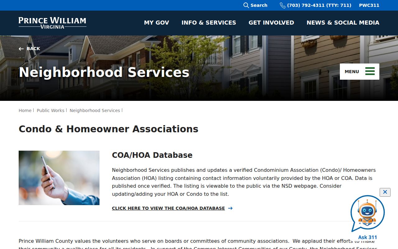
The county listing can point to an association contact. It does not turn Port Potomac, Neabsco Beach, Potomac Shores, or any other place label into a confirmed association claim or a member list.
Read the Leesylvania Neighbor POA Layer
The county's mapped Property Owner Associations GIS layer can add spatial context that a contact list lacks. Its published fields include association name, GIS acreage, zoning case number, magisterial district, website, zoning type, community parcel owner mailing fields, phone, management company and contact fields, association type, and a Neighborhood Services List indicator. It is a useful place to compare an association polygon with a target parcel.
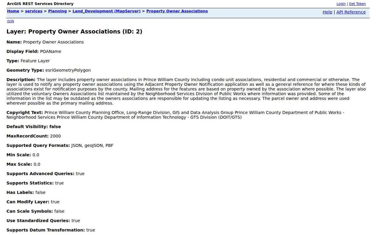
The layer itself cautions that association information can be outdated because associations must report updates. Match the polygon to the parcel, then verify the association's own contact route or governing documents. A mapped POA field is not evidence that a particular person lives there or belongs to an association.
Leesylvania Neighbor Records and Lookup Categories
Official records tie a result to a custodian and a limited role. Commercial neighbor-lookup products are a separate category that may combine public records, directory data, and marketing data. Their presentation can be convenient, but it may be stale, incomplete, or merge people with similar names. Use the official source to verify a parcel, registration rule, or recorded document.
| Official record path | Commercial neighbor-lookup category | Practical reading |
|---|---|---|
| County Mapper and assessment card | Combined address and public-data profile | The county path identifies a parcel and owner role; the combined profile is not a county roll. |
| Registrar list under Virginia law | Address-associated name suggestion | Statutory public fields and exclusions control the official list; a suggestion needs independent confirmation. |
| Clerk deed or plat | Property-history summary | A recorded instrument is the source for legal interest and description, subject to its date and record limits. |
Dates matter in every comparison. Assessment information is annual, a mapped parcel can lag a recorded plat, and voter status changes through list maintenance. Record the custodian and retrieval date before combining results from separate systems. A current map label should not be used to rewrite an older deed or directory entry.
Leesylvania Neighbor Place Names
Port Potomac, Neabsco Beach, Potomac Shores, Powells Landing, Potomac River Boulevard, Blackburn Road, and Hayes Lane appear as local map or development labels. They can help a map searcher orient a block, interpret an older description, or select the right corridor. They do not, by themselves, confirm a legal association, an owner, or a household's membership in a community group.
For dates around a block, Development Services ePortal permits and plans can be searched by address, permit number, or project name without an account. Property-code material can come through PWC311 channels, subject to access limits. These sources may show work, plans, inspections, or a property condition. They should be read as administrative events, not as a list of neighbors.
PWC Community Watch is also a program contact, not a roster. The County's Crime Prevention contact is 703-792-7270. It can provide a public-safety program route without identifying participating households.
Privacy Limits for Leesylvania Neighbors
A lawful block search leaves major categories private. Property records do not list renters or all household members. Utility and delivery customer information is not a public neighbor source. Virginia DMV address and vehicle information is protected. Voter safeguards exclude protected addresses, and the Virginia Address Confidentiality Program uses a substitute address for eligible participants. Sealed court, vital, and adoption material also remains outside an ordinary parcel workflow.
Under Virginia's Address Confidentiality Program, an eligible participant can use a substitute address and mail-forwarding arrangement. The actual address is protected from ordinary disclosure except in limited legal circumstances. Likewise, a protected voter can use a P.O. box or alternative mailing address in public voter material. Do not attempt to fill either gap with a parcel map, a mailing address, or a third-party profile.
Lawful use. Use public Leesylvania neighbor records for personal, lawful purposes such as understanding a parcel or reconnecting through appropriate records. Do not use them to watch, harass, intimidate, or harm anyone. Virginia law prohibits stalking conduct.
When a record appears wrong, ask the responsible custodian about its correction process rather than republishing sensitive details. A smaller, source-labeled parcel explanation is more reliable and safer than trying to assemble a complete block roster.